Holding Institution
Description
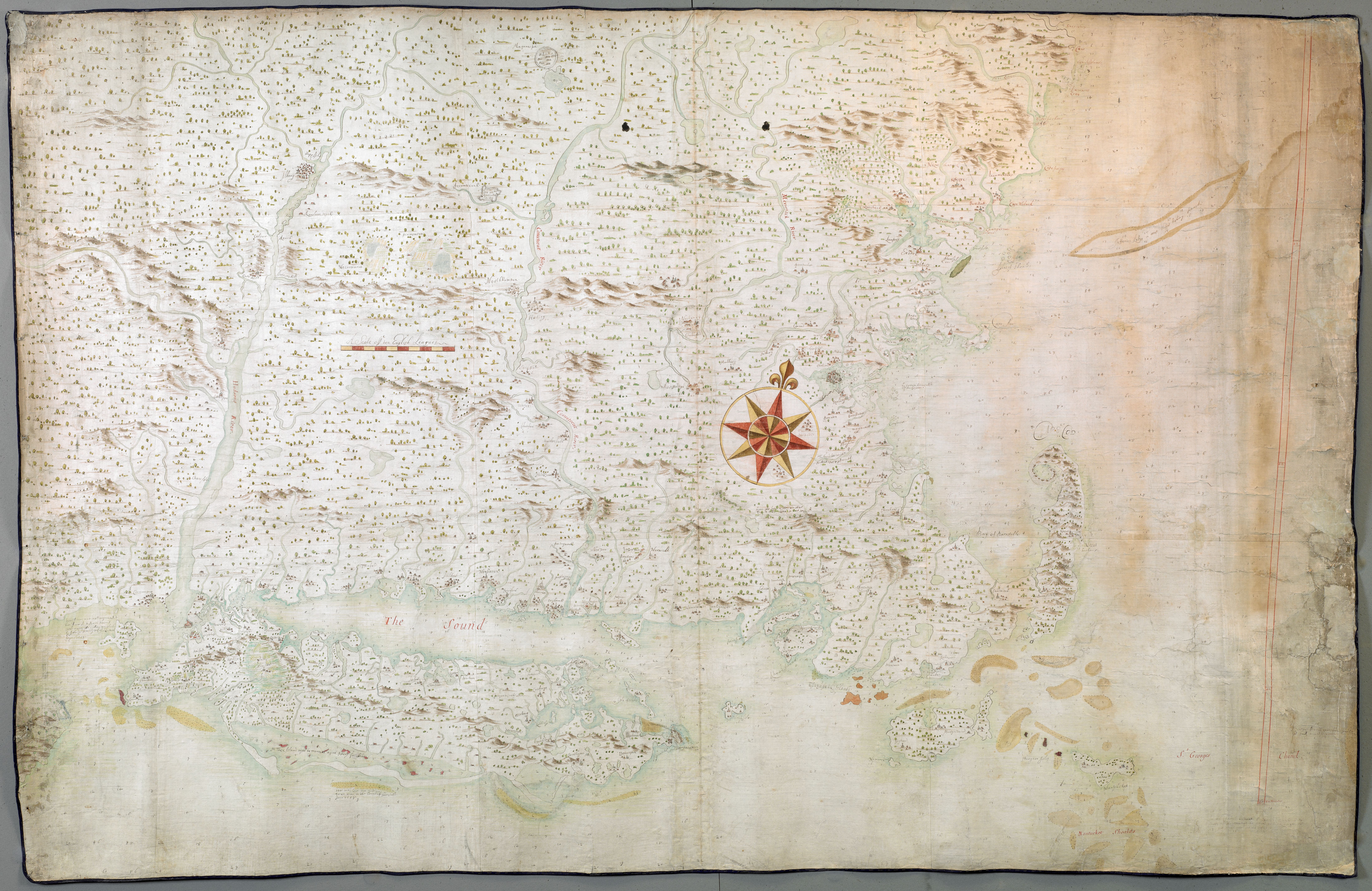
Scott, John 1632-1704, and Sir Hans Sloane. "A chart of the province of New England, with the soundings on the coast; drawn about 1670, on a scale of 1 2/3 English league to an inch." Map. [ca. 1670]. Norman B. Leventhal Map & Education Center, https://collections.leventhalmap.org/search/commonwealth:hx11xz975 (accessed February 09, 2024).
Document Date
1670
Image


